
F4 Map is an online free interactive XNUMXD map based on Open Street Maps (OSM), which is a collaborative mapping project by a community of volunteers.
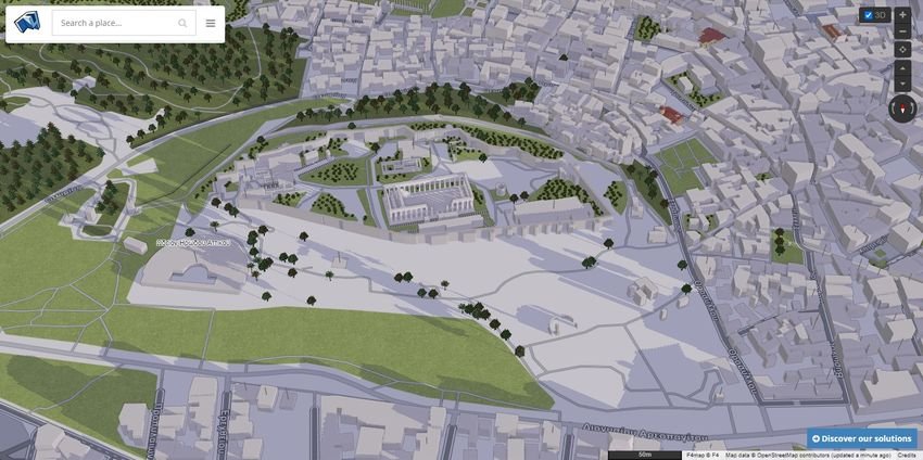
F4 Map contains aerial images that display points on Earth in a 2D or 3D environment. The application is developed by a company of the same name, F4, founded in 2002 and specializing in 3D and other digital applications, both for business and general public use.
It can depict one region along with the current weather conditions, the movement of ships, the altitude difference of the mountains, to see the area you are interested in at different times of the day (morning, noon, afternoon, evening).
You will also see in 3D buildings, shops, road/rail networks, services, points of interest and much more. You can create realism in your map by using rain, χιόνι, waterways, real-time water reflection and more.
Finally you can easily improve and extend the map with your own content and knowledge, at least for your regions, using the openstreetmap.org or the F4 Map Wiki (provided you are an authorized user).
The map is online atσελίδα https://demo.f4map.com. No registration or login required if you just want to see him and stare at the Earth.
