
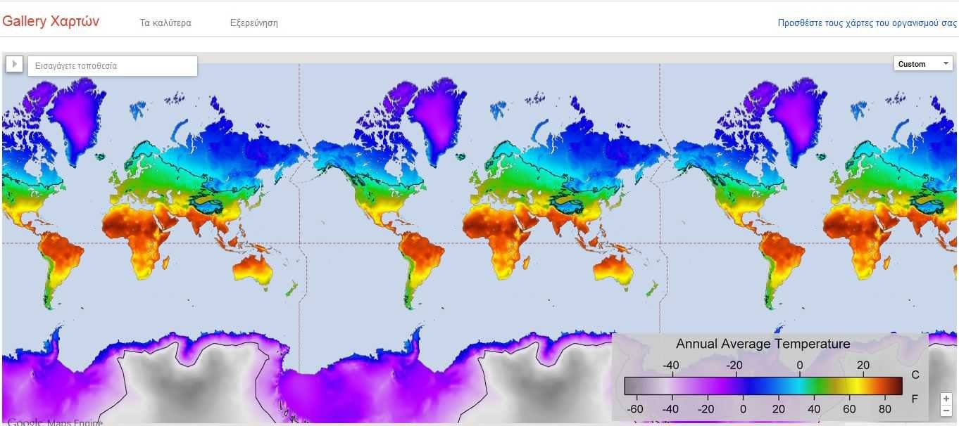
Η Google just released it Google Maps Gallery, a collection of interactive digital maps from various organizations, government and non-profit organizations such as National Geographic, the World Bank Group, and the American Geological Survey.
It is an extension of preletterτος δημοσίων data of machineof Google Maps that the company introduced last year.
At announcement of Google states that governments, non-profit organizations and businesses they are the holders of some of the most valuable mapping data in the world. Of course, the public often did not have access to such data and that is why Google has prepared this new project.
The Google Maps Gallery acts as an interactive digital atlas that houses many maps that can also be viewed through Google Earth. In addition, maps are searchable by search engines, which means they will be more accessible than ever.
This is just the beginning, Google hopes to expand its project, something we have seen with other projects of the company.
