
Η Google announced a new one Google Maps Roads API, which allows developers to create better route visualizations in their applications than the originals data of GPS, following real roads.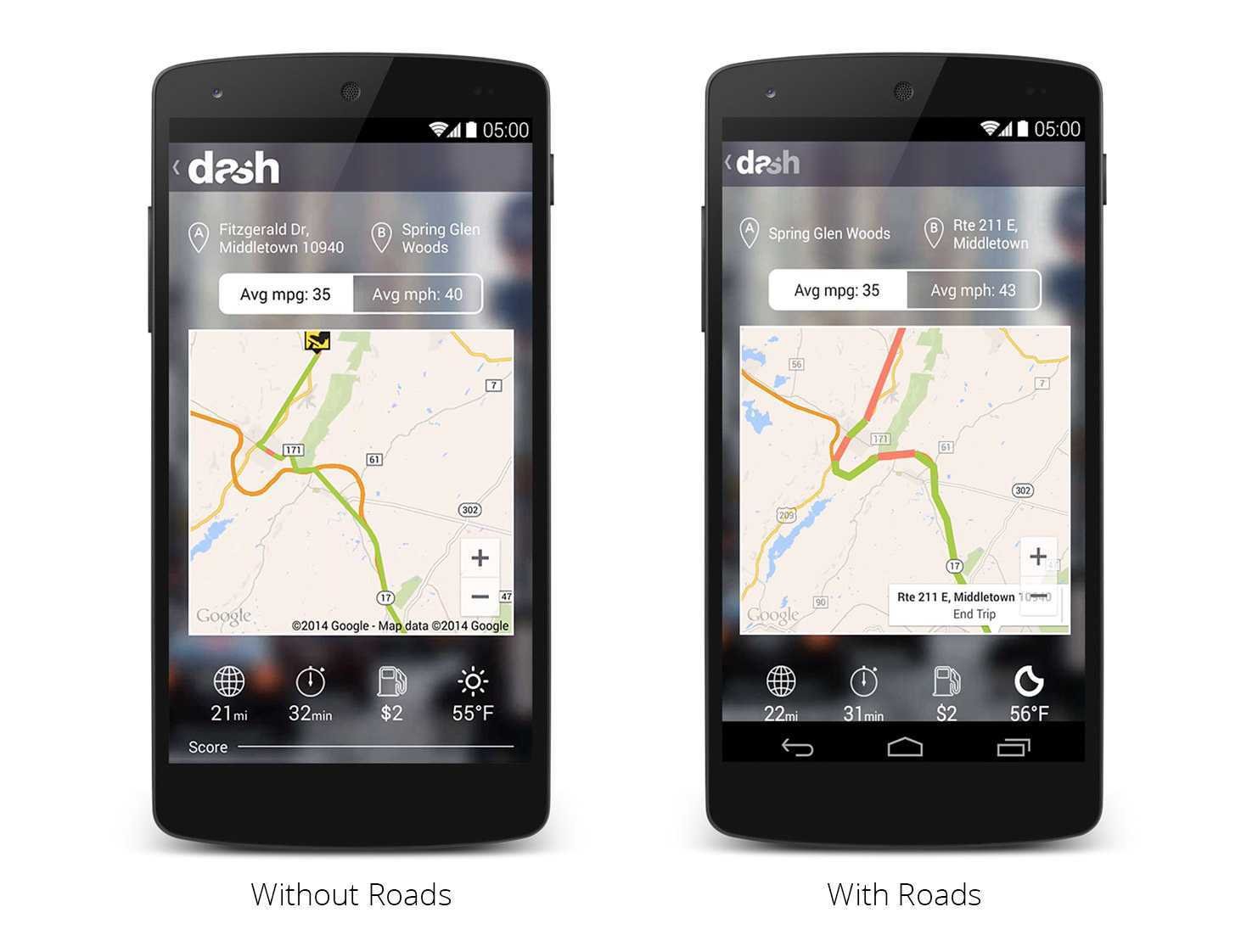
The new API fixes the jitter GPS problem, where apps were bizarre about the paths passing through obstacles such as buildings. The problem was caused by inaccurate or inadequate GPS data.
The new Roads API includes a road attachment feature that takes data and returns paths that comply with the most likely routes.
The new function will be very useful in navigation applications and positioning.
The feature is free for up to 2.500 questions a day.
Google also made available several code samples and documentation for developers. You can see them here.
