Gov-Agri-Wallet and farmers will swipe their cards….

The government has announced a new way to control agricultural activity, aiming - as it emphasizes - to prevent false IACS declarations that lead to unjustified aid payments from OPEKEPE.

Specifically, the final credits for the Agrisnap application are coming and a new mobile application is being prepared, which will combine satellite tracking to certify the physical presence of the producer.
See more articles from iGuRu.gr when you search for news on Google.

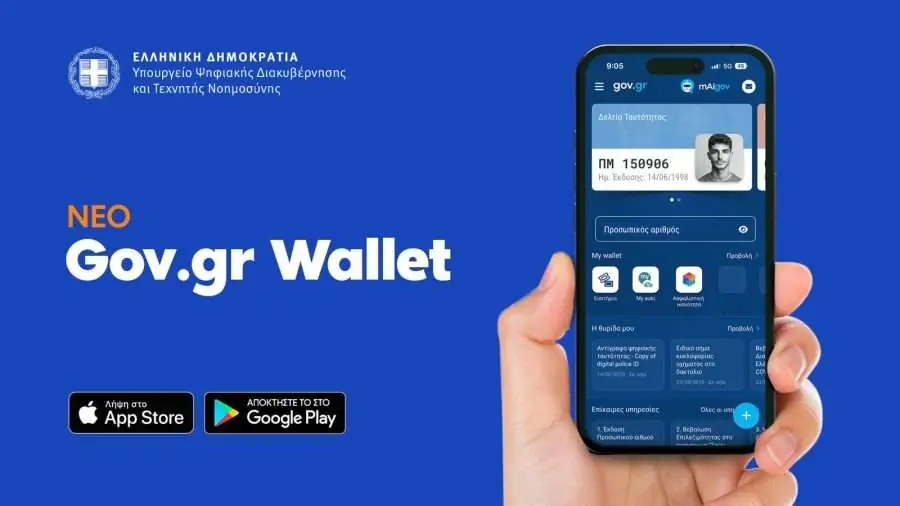
The new digital application called Gov-Agri-Wallet, which is being prepared by the Ministry of Digital Governance, aims to fully control the farmer's presence in the field and accurately verify the holding declared in the IACS.

The application will combine satellite tracking, geospatial data and mobile phone movement data to verify that the producer is actually at the point where he declares agricultural activity. It is a key part of the changes foreseen in the action plan for the 2026 IACS, which also includes the creation of a new digital geospatial map of the country using very high resolution satellite images and artificial intelligence tools, in order to accurately separate eligible and ineligible areas and to update the data frequently.

This data will be used by the AADE for the payment of agricultural subsidies from 2026 onwards.

This was stated by Konstantinos Karantzalos, Secretary General of Telecommunications and Posts of the Ministry of Digital Governance, in response to a relevant question from SYRIZA MPs.

In detail, Mr. Karantzalos' response to a question from SYRIZA MPs Vasilis Kokkalis, Popi Tsapanidou and Giorgos Gavrilou, who highlighted the malfunctions of Agrisnap, states the following:

In response to the submitted query, the Ministry of Digital Governance, in close collaboration with the Independent Authority of Public Revenue (IAPR), informs that the development of a new, upgraded application called Gov Agri-Wallet has already begun, within the framework of the implementation of Action Plan 2 for the digital transition of the agricultural sector. The initiative is being promoted in coordination with the Ministry of Rural Development and Food and is in full alignment with the requirements of the Common Agricultural Policy.

The Gov Agri-Wallet application will integrate a multi-layered security system that combines satellite tracking (GNSS) with analysis of device motion data, ensuring unimpeachable verification of physical presence when declaring agricultural activity. For the farmer, this translates into immediate, from the mobile phone, documentation of his work in the field – without bureaucratic procedures – and full protection against unjustified questioning of his declarations.

At the same time, the application will utilize the country's single digital geospatial map, which is based on high-resolution satellite images and, in combination with the data of the Hellenic Land Registry, will make eligibility checks objective and documented. This is expected to significantly shorten the evaluation times of aid requests and reduce cases of unjustified rejection.

Finally, each digital document will carry an irrevocable spatiotemporal marking and cryptographic protection, ensuring the integrity of the documentation chain from the moment of receipt to submission. The result is a system that recognizes and protects real activity on the farm, contributing to the fair distribution of aid and restoring trust between the agricultural community and the State.

agrotypos.gr


Google preferences

Leave a Comment

Your email address will not be published. Required fields are marked *

Your message will not be published if:
1. Contains insulting, defamatory, racist, offensive or inappropriate comments.
2. Causes harm to minors.
3. It interferes with the privacy and individual and social rights of other users.
4. Advertises products or services or websites.
5. Contains personal information (address, phone, etc.).