
America's National Oceanic and Atmospheric Administration (NOAA) shared video through Hurricane Sam, taken by a sailing drone.
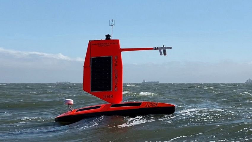
The organization installed the "Saildrone Explorer SD 1045" in the path of Category Four Hurricane Sam. The drone sailboat overcame 15-meter-high waves and winds reaching speeds of 190 kilometers and managed to collect data and useful information from the hurricane sweeping the Atlantic ocean.
The device features a special "hurricane wing" to help it survive high wind conditions. SD 1045 is one of five sailing ships found in the Atlantic Ocean when Sam erupted. They are constantly recording data to help them researchers to gain a deeper understanding of hurricanes. The information could help improve storm forecasting, which will hopefully reduce loss of life.
According to Greg Foltz, a scientist at NOAA, “Using data collected by saildrones, the agency expects to improve forecast models that predict rapid intensification of hurricanes. Rapid intensification, and when hurricane-force winds strengthen within hours, poses a serious threat to coastal communities. New data from saildrones and other uncontrolled systems that uses NOAA will help us better predict the forces that drive hurricanes and we will be able to warn communities earlier."
Watch two videos and if you do not suffer from nausea watch them in full screen:
Video 1
Video 2
https://www.youtube.com/watch?v=jZvV3-vl5IQ
