
A NASA-led international satellite mission was scheduled to launch from Southern California early Thursday in a major science project to continuetreatment of a comprehensive survey of the world's oceans, lakes and rivers for the first time. Reuters he says:
The advanced radar satellite named SWOT, short for Surface Water and Ocean Topography, was designed to give scientists an unprecedented view of the life-giving liquid that covers 70% of the planet, shedding new light on the mechanics and consequences of climate change.
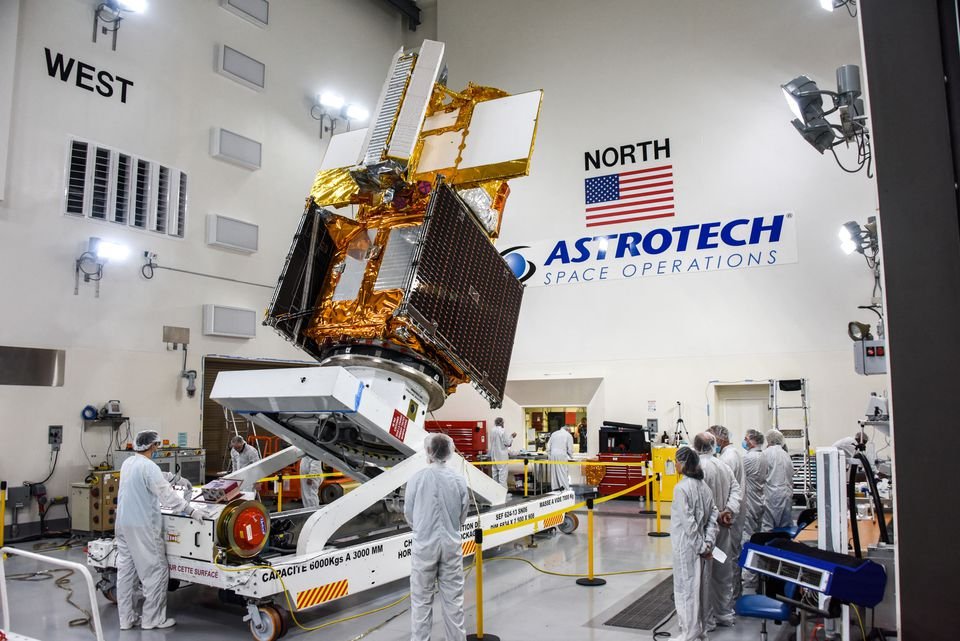
A Falcon 9 rocket, owned and operated by the billionaire's company SpaceX Elon Musk, was scheduled to lift off before dawn Thursday from the US Vandenberg Space Force Base, about 275 km northwest of Los Angeles, to carry SWOT into orbit. If all goes as planned, the small car-sized satellite will produce research data for several months.
The SWOT satellite has been nearly 20 years in the making and incorporates advanced microwave radar technology that scientists say will collect measurements of height-surfaceof oceans, lakes, reservoirs and rivers in high definition detail over 90% of the planet.
The data, gathered from the scans at least twice every 21 days, will boost ocean circulation models, weather and climate forecasts and the management of scarce freshwater supplies in drought-stricken regions, according to researchers.
An important phase of the mission is to investigate how the oceans absorb atmospheric heat and carbon dioxide in a natural process that moderates global temperatures and climate change.
SWOT's ability to distinguish even the smallest surface features of liquids will also be used to study the effects of sea level rise on coastlines.
